
Votre projet implique :
– une articulation entre terrain, données, SIG et 3D,
– des contraintes techniques, environnementales ou opérationnelles élevées,
– des délais contraints ou des enjeux importants,
– une continuité technique sur la durée.
GEOGRA accompagne des projets techniques complexes
à l’interface entre le terrain, les données, le SIG et la 3D,
dans des contextes contraints ou atypiques.
Your project involves:
– an integration between field operations, data, GIS and/or 3D,
– high technical, environmental or operational constraints,
– tight deadlines or significant project stakes,
– the need for technical continuity over the duration of the project.
GEOGRA supports complex technical projects
at the interface between field operations, data, GIS and 3D,
in constrained or atypical environments.
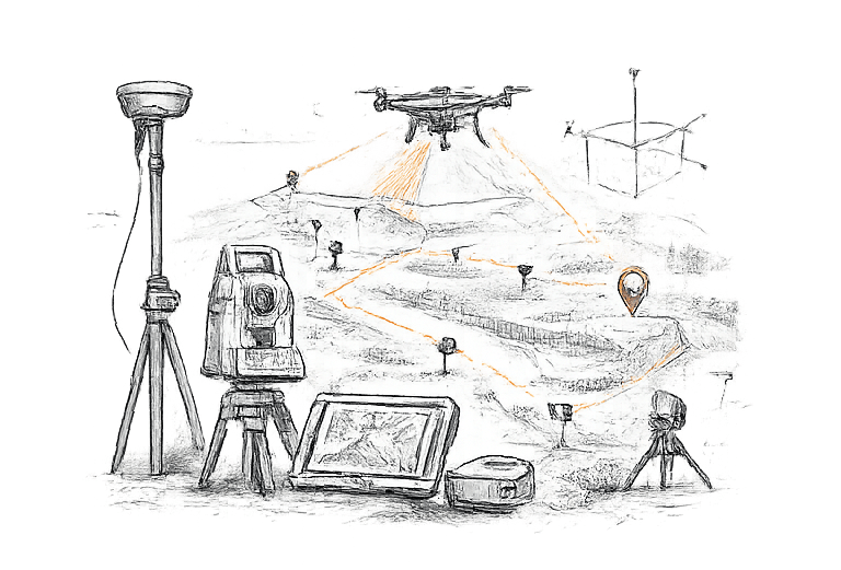
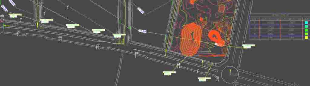
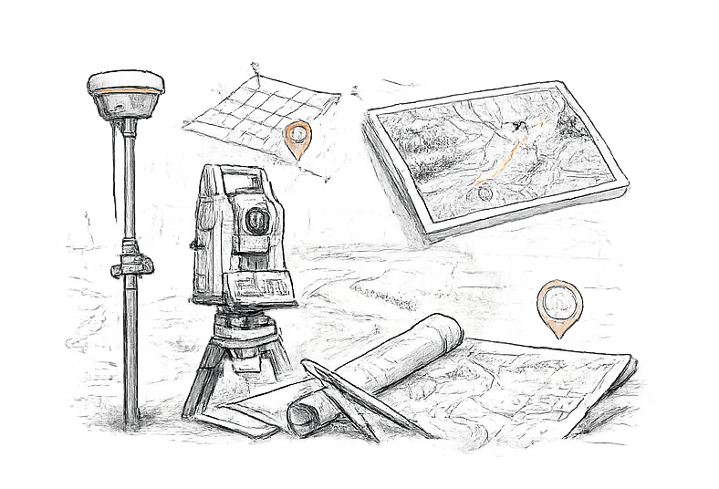
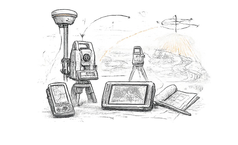
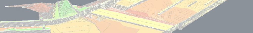
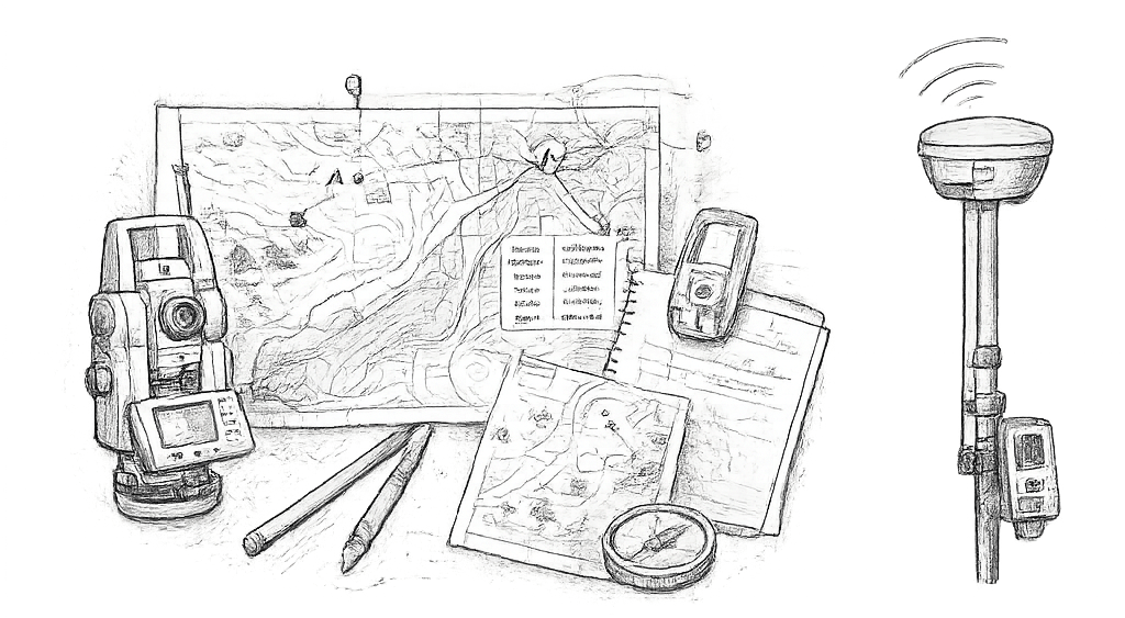
- Topographie et bathymétrie : Mesures précises pour vos projets d’infrastructure et d’aménagement, implantations, récolement / Topography and Bathymetry: Accurate measurements for infrastructure and development projects, setting out, as-build verification and plans
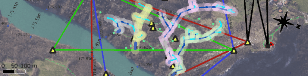
- Systèmes d’information géographique (SIG) : Développement et intégration de solutions SIG mobiles et desktop,migration et conversion de données, analyse de données./ Geographic Information Systems (GIS): Development and integration of mobile and desktop GIS solutions, data migration and conversion, data analysis.
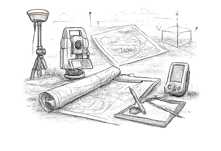
- Modélisation 3D et Lidar :Numérisation par LIDAR statique et SLAM, modélisation et extraction de plans pour des pièces, ouvrages ou structures complexes, nettoyage et traitement de nuages de points. / 3D Modeling and Lidar: Static and mobile (SLAM) LiDAR scanning, 3D modeling and plan extraction for complex components, structures, or works, point cloud cleaning and processing.
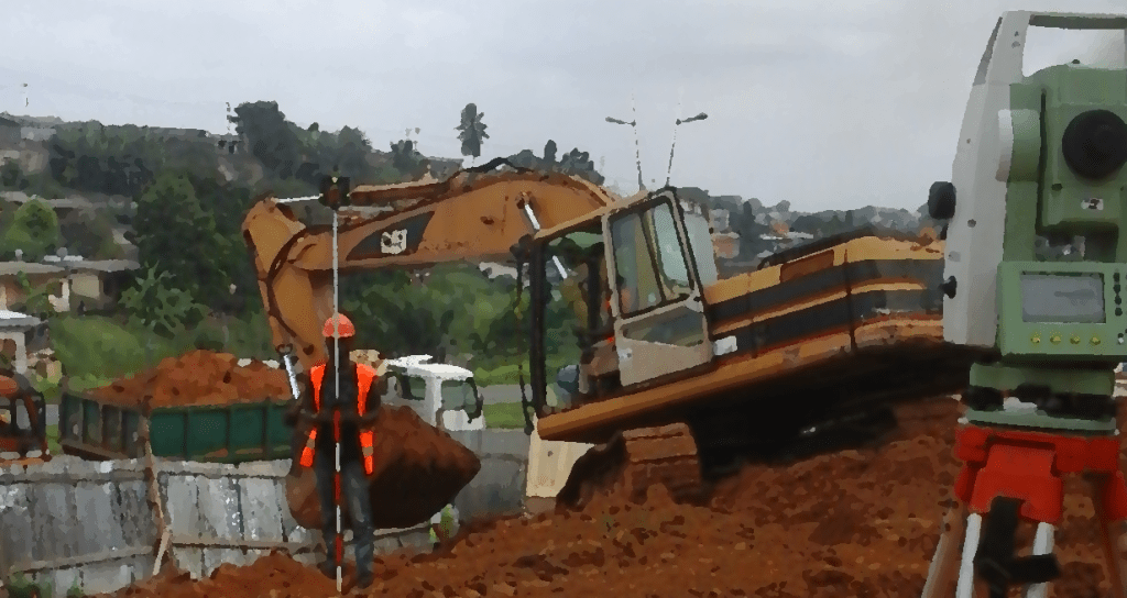
- Génie civil : Accompagnement des projets de terrassement et d’aménagement / Civil Engineering: Supporting earthworks and development projects.
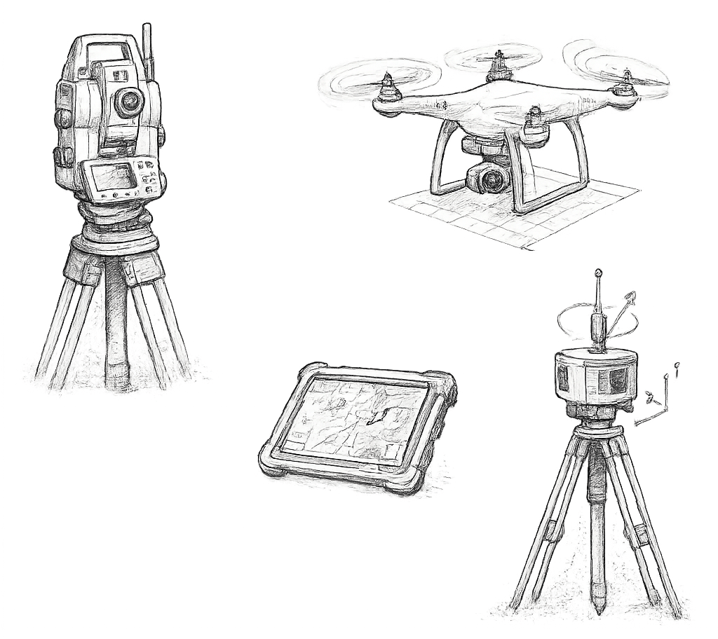
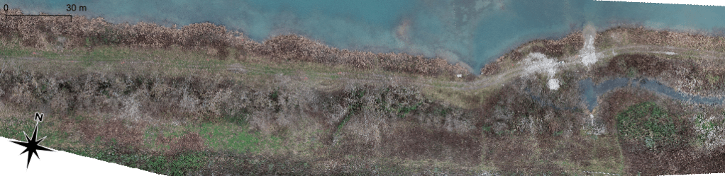
- Photogrammétrie : Production de cartes, plans et MNT géoréférencés, photogrammétrie verticale (façades), inspections diverses. / Photogrammetry: Production of georeferenced maps, plans, and DTMs; vertical photogrammetry (e.g., for façade surveys); various inspections.
